It’s late summer and because it’s been so dry recently, there’s very little whitewater to kayak close by. According to American Whitewater, only 4 of the 81 Maryland river runs are currently runnable!
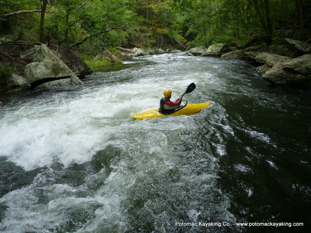
Ironically, the Gunpowder Falls river, which has been too low to run for months, is now in play this week because of the Prettyboy Reservoir dam release. With 3 feet on the gauge, turns out this little creek is a lot of fun!
.
Overview
The Prettyboy Dam to Falls Rd run of the Gunpowder Falls river is a 2 mile, class II/III about a half hour north of Baltimore, MD. The scenery in this narrow creek is gorgeous and the water cold and clean. Since the run is so short, I usually run it once; eat lunch; and then run it a second time. (There are ways to extend the run beyond 2 miles, but the main rapids are found in this short stretch that is just south of the dam.)
Logistics
The put-in is off Falls Rd, just below Prettyboy Dam. There’s parking for a half-dozen cars or so.
(GPS: 39.613541,-76.696292)
The carry down to the river is along a marked hiking trail through the forest, about a 1/2 mile.
The take-out is where Falls Rd crosses the river northeast of the put-in.
(GPS: 39.619064,-76.690515)
Since the put-in and take-out are only a 1/2 mile apart, no shuttle is needed.
Gauge
The run is considered a class II/III, depending on the water level. Check out the Parkton Gauge. 2 feet is considered the minimum. I look to run the river after a good rain or during a dam release.
Today’s gauge read 3 feet and 340 cfs, caused solely by the dam release. At this level, the run took on some class III characteristics. Having now run this river at 2 and at 3 feet on the gauge, I can tell you that a foot of water makes a big difference on this narrow stretch of river.
Hazards
One thing I like most about this run is the hiking trail that follows the entire length of the run on river right. This makes it possible to scout, set safety, and portage, if needed.
The river is narrow and there’s a tree canopy, so be on the lookout for strainers. Cold water and cold air temperature, a result of the dam released water and shade from the tree canopy, respectively, can also be a concern. It’s still summer and I was glad to have on a dry top.
The Run
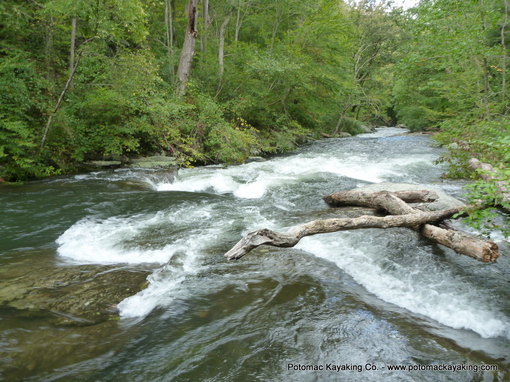
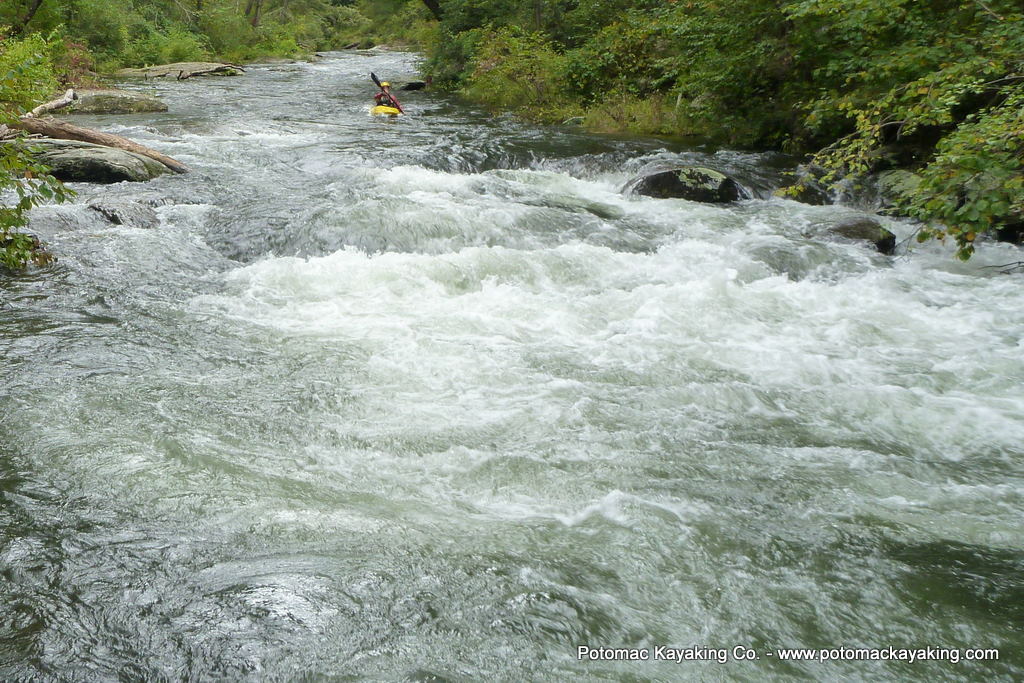
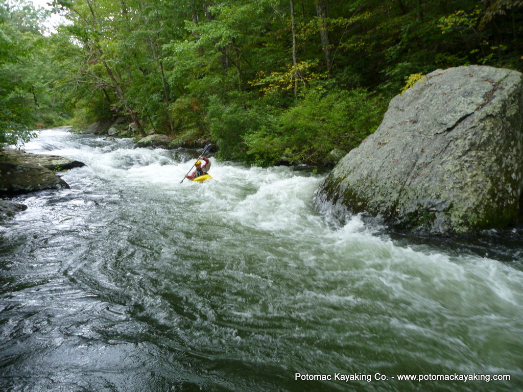
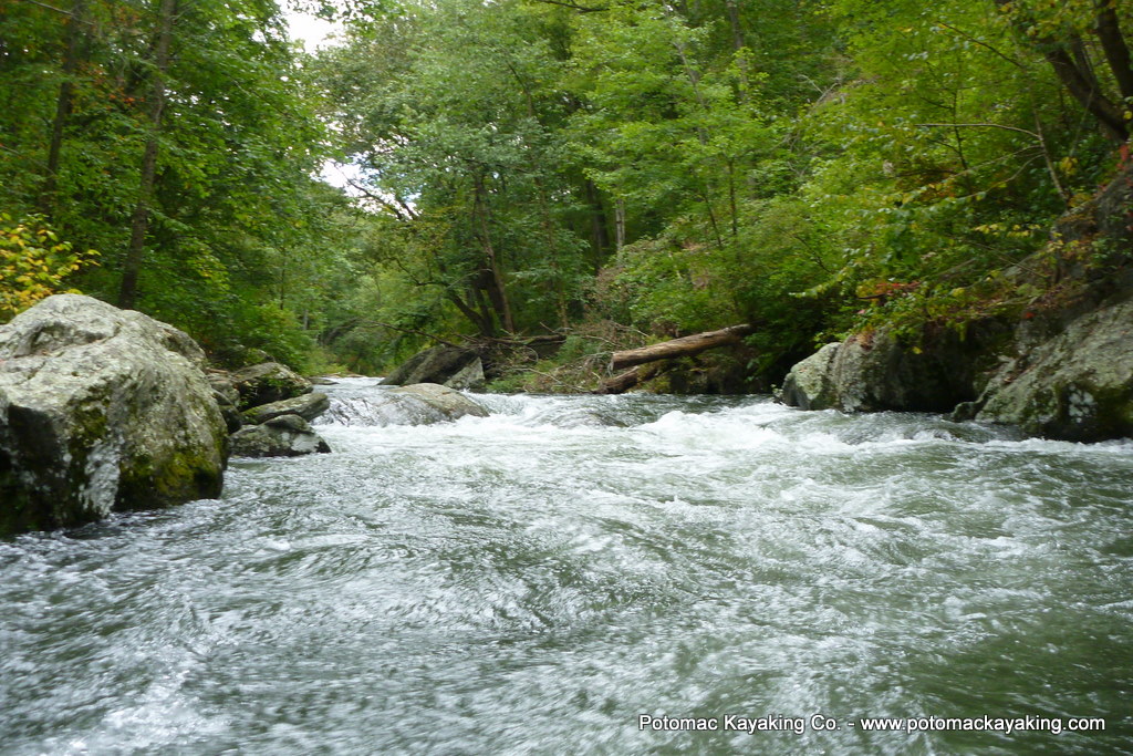
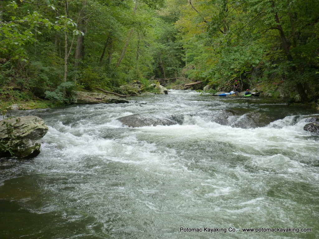
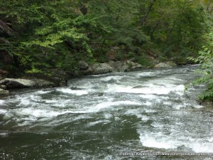
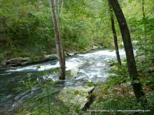
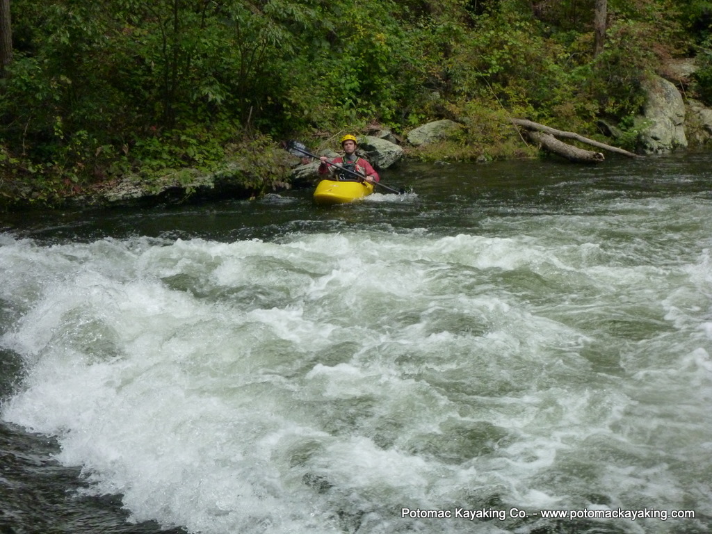
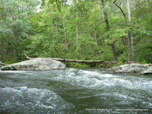
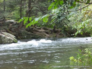
I took pictures along today’s run, including all of the major rapids and offer them to give folks a sense of the river (click on any picture to enlarge it).
The rapids are labeled simply in the order by which they appeared. I know local paddlers have names for some of these rapids, and I’d encourage them to comment below and let me know what they’re called — I’m happy to update.
.
 .
.
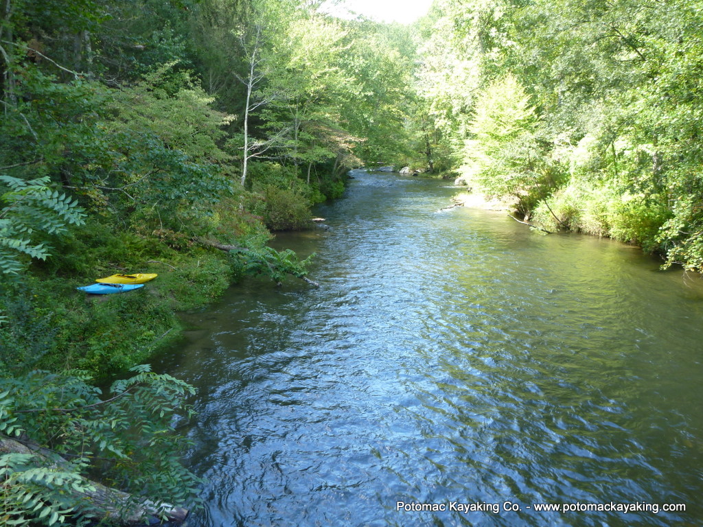
The beginning: gently moving water to warm up by doing some ferries. Around the river bend brings some boogie water, then a horizon line indicates rapids are approaching.
.
.
.
1st rapid.
See below. I ran the tongue straight down center left.
.
There’s a little time to catch your breath after the 1st rapid by catching an eddie on river right.
The 2nd rapid (below) comes as a set of two chutes. Some of the water from the second chute creates a pillow against the a boulder on river left (the right side of the picture below), so the trick is avoiding the rock. After this rapid, I caught the eddie on river right and paused for a drink of water.
.
.
The 3rd rapid (below) is hard to see from 2nd rapid. I ran the line starting from river left and tried to avoid the rock in the middle. Other lines looked doable.
..
I really enjoyed the 4th rapid (below). Could be because I could actually make out some of the lines from the water before it began! The first time I ran far river left as far as the green water would go. The second time was more fun, running far right then turning with the flow towards the center and past the rock (pictured on the left side of the picture below).
.
.
At this level, what I’m calling as the 5th rapid is really just some boogie water with a rock on river right. So easiest way through was on river left.
.
.
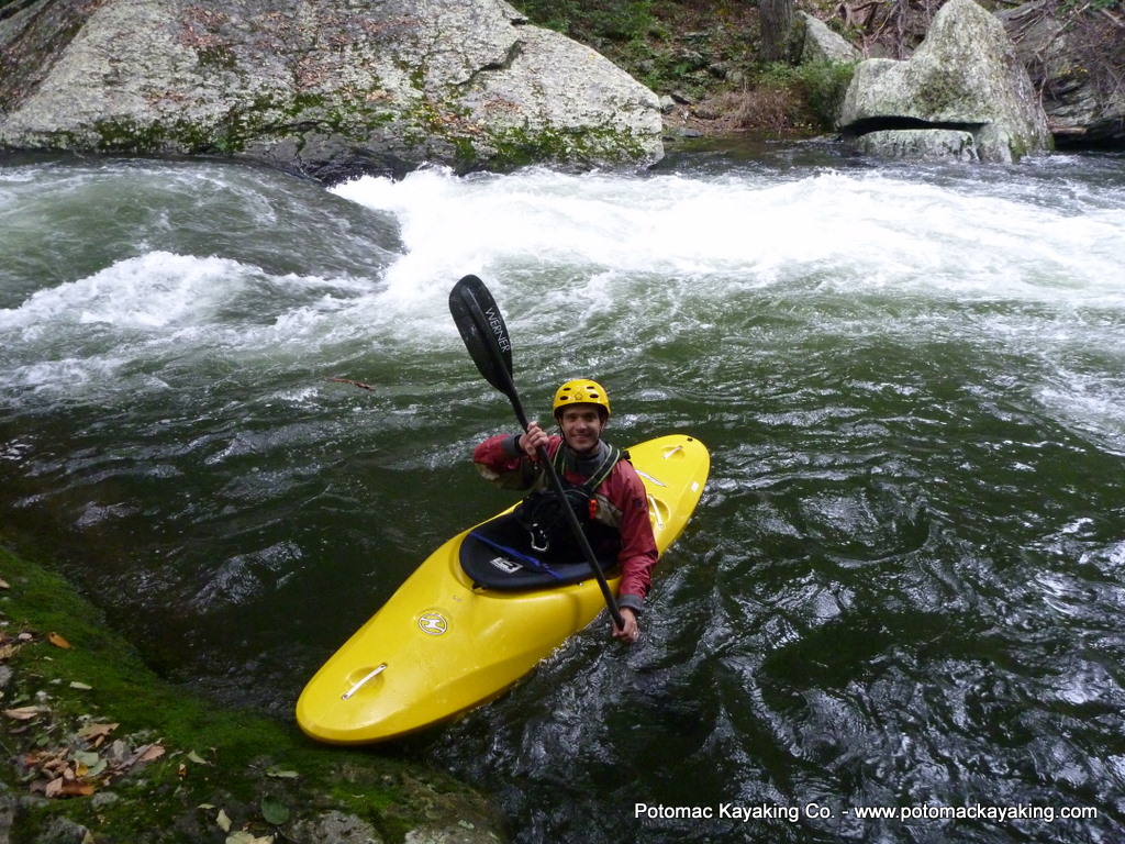
Rapid 6 has two parts: a nice wave that I coasted straight through, followed by a pretty nice hydraulic.
On the second feature, I went down river left and then eddied up (see below).
.
.
 .
.
Rapid 7 was just a fun little wave train on river right.
.
.
.
.
.
The last rapid (8) starts on river left and then cuts to the right like a water slide..
.
.
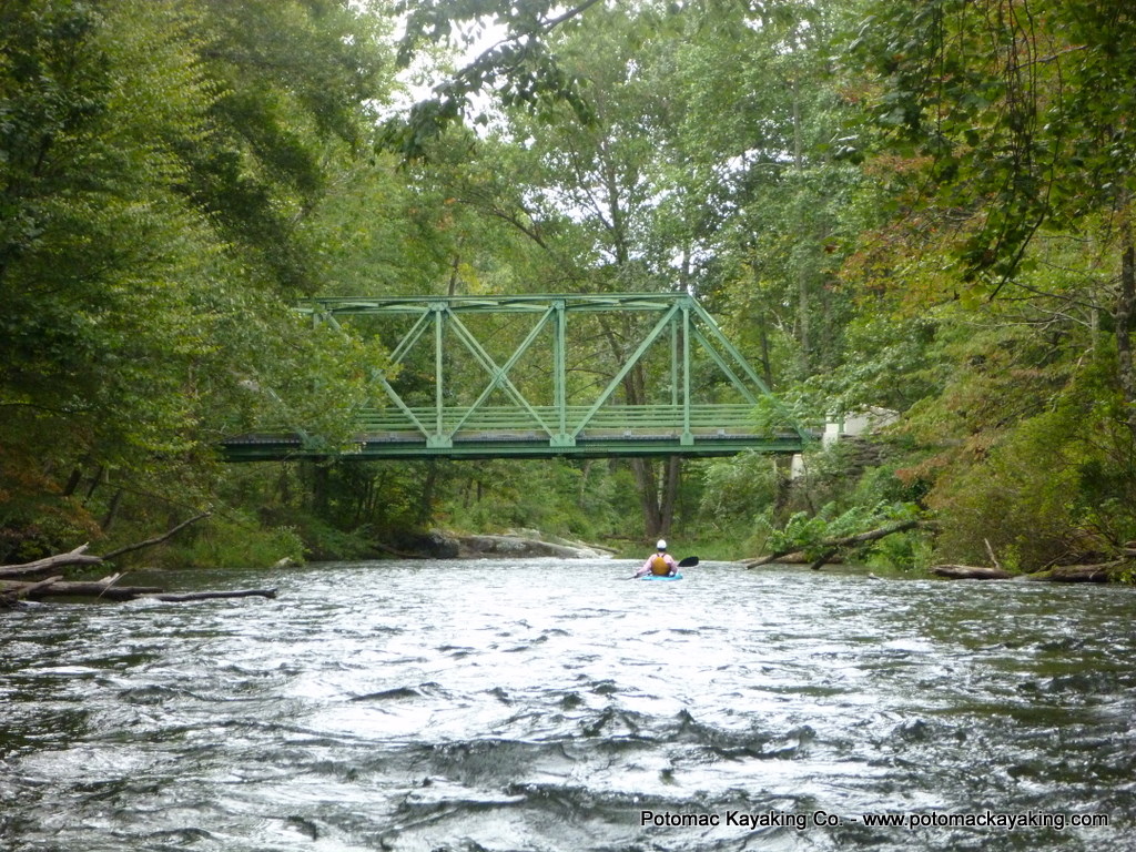
After about five minutes I saw the bridge at Falls Rd.
.
There’s a good take out before and after the bridge on river right. It also makes for a nice lunch spot.
.

